دانلود ESRI ArcGIS For Desktop v10.5 + ArcGIS Server Enterprise v10.5 - نرم افزار تحلیل اطلاعات مکانی
- بازدید: 61,539

دانلود نرم افزار ArcGIS For Desktop + ArcGIS Server Enterprise
نرم افزار ArcGIS نرم افزاری بسیار آسان برای کاربردهای GIS (سامانه اطلاعات جغرافیایی) است که به کاربران این امکان را می دهد که به سادگی اطلاعات مکانی و داده های توصیفی را برای ایجاد نقشه ها، جداول و نمودارها به کارگیرند و به عبارت دیگر ArcGis نرم افزاری است که اجازه ساخت یک سیستم کامل اطلاعات مکانی را فراهم می کند. این نرم افزار یکی از محصولات معروف و قدرتمند شرکت آمریکایی ESRI است که در زمینه سیستم های اطلاعات مکانی کاربرد دارد. نرم افزارArcGIS نرم افزاری بسیار آسان برای کاربردهای GIS است که به کاربران این امکان را می دهد که به سادگی اطلاعات مکانی و داده های توصیفی را برای ایجاد نقشه ها، جداول و نمودارها به کارگیرند و به عبارت دیگر ArcGis نرم افزاری است که اجازه ساخت یک سیستم کامل اطلاعات مکانی را فراهم می کند. نرم افزار ArcGIS باعث می شود که تجزیه و تحلیل های جغرافیایی ساده، به دست افراد بیشتری، بدون نیاز به اینکه کارشناسان GIS باشند، انجام گیرد. این نرم افزار دارای 4 ماژول اصلی Arccatalog, Arcmap, Arcscene و Arctoolbox می باشد.قابلیت های کلیدی نرم افزار ArcGIS:
- به کارگیری آسان اطلاعات مکانی و داده های توصیفی را برای ایجاد نقشه ها، جداول و نمودارها
- دارای یک رابط گرافیگی ساده و آسان
- ایجاد، ویرایش و حصول اطمینان از کیفیت اطلاعات جغرافیایی شما
- دستکاری داده ها با حداقل تعداد کلیک
- قابلیت نمایش نمودارهای اطلاعاتی
- دارای مجموعه کاملی از ابزارها
- توانایی ساخت مدل های فرایند، اسکریپت ها و یک چارچوب کامل
- داشتن نمونه هایی از داده های آماری قابل استفاده
- سازگار با نسخه های مختلف ویندوز
- و ...
| 💿 نام نرم افزار | ArcGIS For Desktop + ArcGIS Server Enterprise |
| 📌 شماره نسخه | v10.5 |
| 📁 دسته بندی | Esri |
| 💾 حجم فایل | 1020 + 2035 مگابایت |
| 📅 تاریخ به روزرسانی | 1396/7/11 |
| 📊 تعداد دانلود | 61,521 |
| ❤️ هزینه دانلود | رایگان و نیم بها |
| 💡 آموزش نصب و فعال سازی | ✔️ |
سوالات متداول
نرم افزار ArcGIS For Desktop + ArcGIS Server Enterprise چیست؟
نرم افزار ArcGIS نرم افزاری بسیار آسان برای کاربردهای GIS (سامانه اطلاعات جغرافیایی) است که به کاربران این امکان را می دهد که به سادگی اطلاعات مکانی و داده های توصیفی را برای ایجاد نقشه ها، جداول و نمودارها به کارگیرند و به عبارت دیگر ArcGis نرم افزاری است که اجازه ساخت یک سیستم کامل اطلاعات مکانی را فراهم می...
آخرین ورژن نرم افزار ArcGIS For Desktop + ArcGIS Server Enterprise را از کجا دانلود کنم؟
برای دانلود نرم افزار ArcGIS For Desktop + ArcGIS Server Enterprise به طور رایگان و با ترافیک نیم بها (در ایران) روی این لینک کلیک کنید.
آموزش نصب نرم افزار ArcGIS For Desktop + ArcGIS Server Enterprise چگونه است؟
راهنمای نصب نرم افزار ArcGIS For Desktop + ArcGIS Server Enterprise در این صفحه درج شده است.
کلمات کلیدی ArcGIS For Desktop + ArcGIS Server Enterprise: دانلود مکان یاب جغرافیایی, دانلود تحلیل اطلاعات جی.آی.اس, دانلود نرم افزار جی آی اس, دانلود تحلیل اطلاعات جغرافیایی, دانلود نرم افزار GIS, نرم افزار, جی آی اس, سیستم های اطلاعات جغرافیایی, ESRI, ایجاد و مدیریت وب سرویس های GIS, ارائه داده های GIS برروی وب, دانلود نرم افزار ایجاد و مدیریت وب سرویس های GIS, دانلود نرم افزار ارائه داده های GIS بر روی وب, پلاتفرمی برای ایجاد نرم افزار های حرفه ای, دانلود نرم افزار آرک جی آی اس سرور, دانلود نرم افزار آرک جی آی اس, نرم افزار تحلیل اطلاعات مکانی,
ESRI full software collection,
ثسقه, ثسقه, دانلود ESRI ArcGIS For Desktop ArcGIS Server Enterprise نرم افزار تحلیل اطلاعات مکانی,
How to crack ArcGIS For Desktop + ArcGIS Server Enterprise,
طریقه/روش/راهنمای کرک ArcGIS For Desktop + ArcGIS Server Enterprise,
Torrent/Usnet/Buy ArcGIS For Desktop + ArcGIS Server Enterprise,
Setup ArcGIS For Desktop + ArcGIS Server Enterprise,
Install ArcGIS For Desktop + ArcGIS Server Enterprise,
دانلود رایگان نرم افزار ArcGIS For Desktop + ArcGIS Server Enterprise,
P30Download ArcGIS For Desktop + ArcGIS Server Enterprise,
Danlod/Danload/Donload ArcGIS For Desktop + ArcGIS Server Enterprise,
nhkg,n kvl htchv ArcGIS For Desktop + ArcGIS Server Enterprise,
Download ArcGIS For Desktop + ArcGIS Server Enterprise Software,
ArcGIS For Desktop + ArcGIS Server Enterprise for windows,
ArcGIS For Desktop + ArcGIS Server Enterprise Trial,
ArcGIS For Desktop + ArcGIS Server Enterprise last Version/Edition,
ArcGIS For Desktop + ArcGIS Server Enterprise New Version,
ArcGIS For Desktop + ArcGIS Server Enterprise Update,
ArcGIS For Desktop + ArcGIS Server Enterprise Free Full Licensed,
ArcGIS For Desktop + ArcGIS Server Enterprise Repacked,
ArcGIS For Desktop + ArcGIS Server Enterprise Direct Download Link (DDL),
ArcGIS For Desktop + ArcGIS Server Enterprise Crack,
Get ArcGIS For Desktop + ArcGIS Server Enterprise,
ArcGIS For Desktop + ArcGIS Server Enterprise Keygen,
ArcGIS For Desktop + ArcGIS Server Enterprise Patch,
ArcGIS For Desktop + ArcGIS Server Enterprise Serial,
ArcGIS For Desktop + ArcGIS Server Enterprise Portable,
برنامه ArcGIS For Desktop + ArcGIS Server Enterprise,
10.5,
Display, ESRI, Explore GIS file, GIS, GIS file viewer, نرم افزار, View GIS file, ایجاد و مدیریت وب سرویس های GIS, ارائه داده های GIS برروی وب, جی آی اس, سیستم های اطلاعات جغرافیایی,
شقزلهس بخق یثسنفخح + شقزلهس سثقرثق ثدفثقحقهسث, شقزلهس بخق یثسنفخح + شقزلهس سثقرثق ثدفثقحقهسث, خرید ArcGIS For Desktop + ArcGIS Server Enterprise,
به روز ترین ورژن ArcGIS For Desktop + ArcGIS Server Enterprise,
آخرین ورژن ArcGIS For Desktop + ArcGIS Server Enterprise,
آخرین نسخه ArcGIS For Desktop + ArcGIS Server Enterprise,
جدیدترین ورژن ArcGIS For Desktop + ArcGIS Server Enterprise,
جدیدترین نسخه ArcGIS For Desktop + ArcGIS Server Enterprise,
10.5,
داونلود/دانلد/تورنت
تحميل,
دریافت,
پی سی,
پی 30,
بهترین Esri,
بهترین نرم افزار Esri,
سافت ور,
تریال,
سوفت ور,
مجانی,
2022-08-20
00:30:11
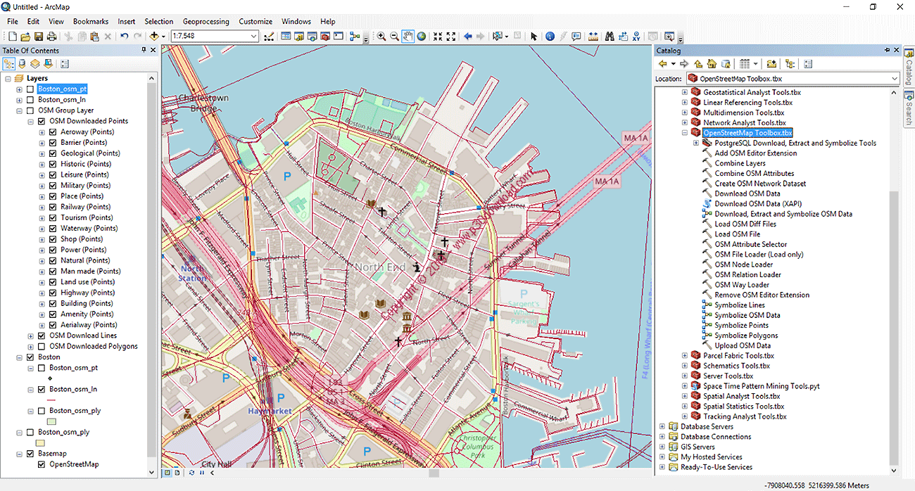
تصاویر نرم افزار ArcGIS For Desktop + ArcGIS Server Enterprise
ArcGIS For Desktop + ArcGIS Server Enterprise Download
ArcGIS Desktop (featuring ArcGIS Pro) allows you to analyze your data and author geographic knowledge to examine relationships, test predictions, and ultimately make better decisions.
ArcGIS Desktop is available in three license levels: Basic, Standard, or Advanced. These license levels share the same core applications, user interface, and development environment. Each license level provides additional GIS functionality as you move from Basic to Standard to Advanced.
ArcGIS Desktop includes:
- ArcGIS Pro
- ArcMap, ArcCatalog
- ArcGIS Online Level 2 Named User account and 100 Service Credits
سیستم مورد نیاز ArcGIS For Desktop + ArcGIS Server Enterprise
ArcGIS Desktop 10.5.x system requirements:
Supported operating systems- Latest update or service pack tested
Windows 10 Home, Pro and Enterprise (64 bit [EM64T])- Creators Update
Windows 8.1 Basic, Pro, and Enterprise (32 bit and 64 bit [EM64T])- Update: April 2017
Windows 7 Ultimate, Professional, and Enterprise (32 bit and 64 bit [EM64T]) SP1
Windows Server 2016 Standard and Datacenter (64 bit [EM64T])
Windows Server 2012 R2 Standard and Datacenter (64 bit [EM64T])- Update: April 2017
Windows Server 2012 Standard and Datacenter (64 bit [EM64T])- Update: April 2017
Windows Server 2008 R2 Standard, Enterprise, and Datacenter (64 bit [EM64T])SP1
Windows Server 2008 Standard, Enterprise, and Datacenter (32 bit and 64 bit [EM64T])- SP2
Note:
Windows 8 is no longer supported by Microsoft. Please upgrade to Windows 8.1 or higher.
Hardware requirements
Supported and Recommended
CPU speed
2.2 GHz minimum; Hyper-threading (HHT) or Multi-core recommended
Platform
x86 or x64 with SSE2 extensions
Memory/RAM
Minimum: 4 GB
Recommended: 8 GB
Display properties
24-bit color depth
Also see Video/Graphics adapter requirements below.*
Screen resolution
1024x768 recommended minimum at normal size (96 dpi)
Disk space
Minimum: 4 GB
Recommended: 6 GB or higher
ArcGlobe creates cache files when used. If using ArcGlobe, additional disk space may be required.
* Video/Graphics adapter
64 MB RAM minimum; 256 MB RAM or higher recommended. NVIDIA, ATI, and Intel chipsets supported.
24-bit capable graphics accelerator
OpenGL version 2.0 runtime minimum is required, and Shader Model 3.0 or higher is recommended.
Be sure to use the latest available drivers
Software requirements:
Python requirement for geoprocessing
ArcMap geoprocessing tools require Python 2.7.13 and Numerical Python 1.9.3 to be installed. If the ArcMap setup does not find either Python 2.7.13 or Numerical Python (NumPy) 1.9.3 installed on the target computer, Python 2.7.13 and Numerical Python 1.9.3 will be installed during a complete installation of ArcMap. You can choose a Custom installation to unselect the Python feature and avoid installing it. Additionally, if the Python setup is executed during the ArcMap installation, you will be provided with the opportunity to choose its installation location. The Python installation location should not include spaces.
Microsoft .NET Framework requirement
Microsoft .NET Framework 4.5 or higher must be installed prior to installing ArcMap.
Browser requirement
Microsoft Internet Explorer (minimum IE 9) must be installed prior to installing ArcMap. Internet Explorer 9, 10, and 11 are supported.
ArcGIS Server 10.5.x system requirements
Supported operating systems- Latest update or service pack tested
Windows Server 2016 Standard and Datacenter*
Windows Server 2012 R2 Standard and Datacenter-Update: April 2017
Windows Server 2012 Standard and Datacenter-Update: April 2017
Windows Server 2008 R2 Standard, Enterprise, and Datacenter-SP1
Windows Server 2008 Standard, Enterprise, and Datacenter- SP2
Note:
Windows 10, 8.1, and 7 are supported for basic testing and application development use only. They are not recommended for deployment in a production environment.
Supported operating systems - Latest update or service pack tested
Windows 10 Pro and Enterprise- Creators Update
Windows 8.1 Pro and Enterprise - Update: April 2017
Windows 7 Ultimate, Professional, Enterprise, and Home Premium - SP1
Hardware requirements
The minimum RAM requirement for GIS Server, ArcGIS GeoEvent Server, ArcGIS Image Server, or Esri Business Analyst for Server: 8 GB per unique license role.
ArcGIS GeoAnalytics Server: 16 GB
When configuring ArcGIS GeoAnalytics Server, ensure that the drive hosting the user profile has sufficient temporary space available. When determining a sufficient value, consider the input data size, the type of GeoAnalytics task, and the number of nodes in your site.
Example scenario:
Input data size: 100 GB of CSV point features
ArcGIS GeoAnalytics Server nodes: 5
Task: Join Features (self-join, simple Cartesian product of evenly distributed features)
Recommended space on disk: (100 x 100 GB) / 5 = 2 TB/node
Increment space accordingly to accommodate concurrent GeoAnalytics jobs.
ArcGIS Server requires a minimum of 10 GB of available disk space.
Firewall settings
ArcGIS Server communicates on ports 1098, 4000-4004, 6006, 6080, 6099, and 6443. You'll need to open these ports on your firewall before installing the software.
مشخصات جدیدترین/آخرین نسخه/ورژن برنامه ArcGIS For Desktop + ArcGIS Server Enterprise 10.5
نام انگلیسی: ArcGIS For Desktop + ArcGIS Server Enterprise
شماره نسخه: v10.5
حجم فایل: 1020 + 2035 مگابایت
تاریخ انتشار: 14:51 - 1396/7/11 | 2017.10.03
امتیاز: ![]() 3.5/5
3.5/5